Exploring the Watery Commons of Thurrock along and into the Thames.
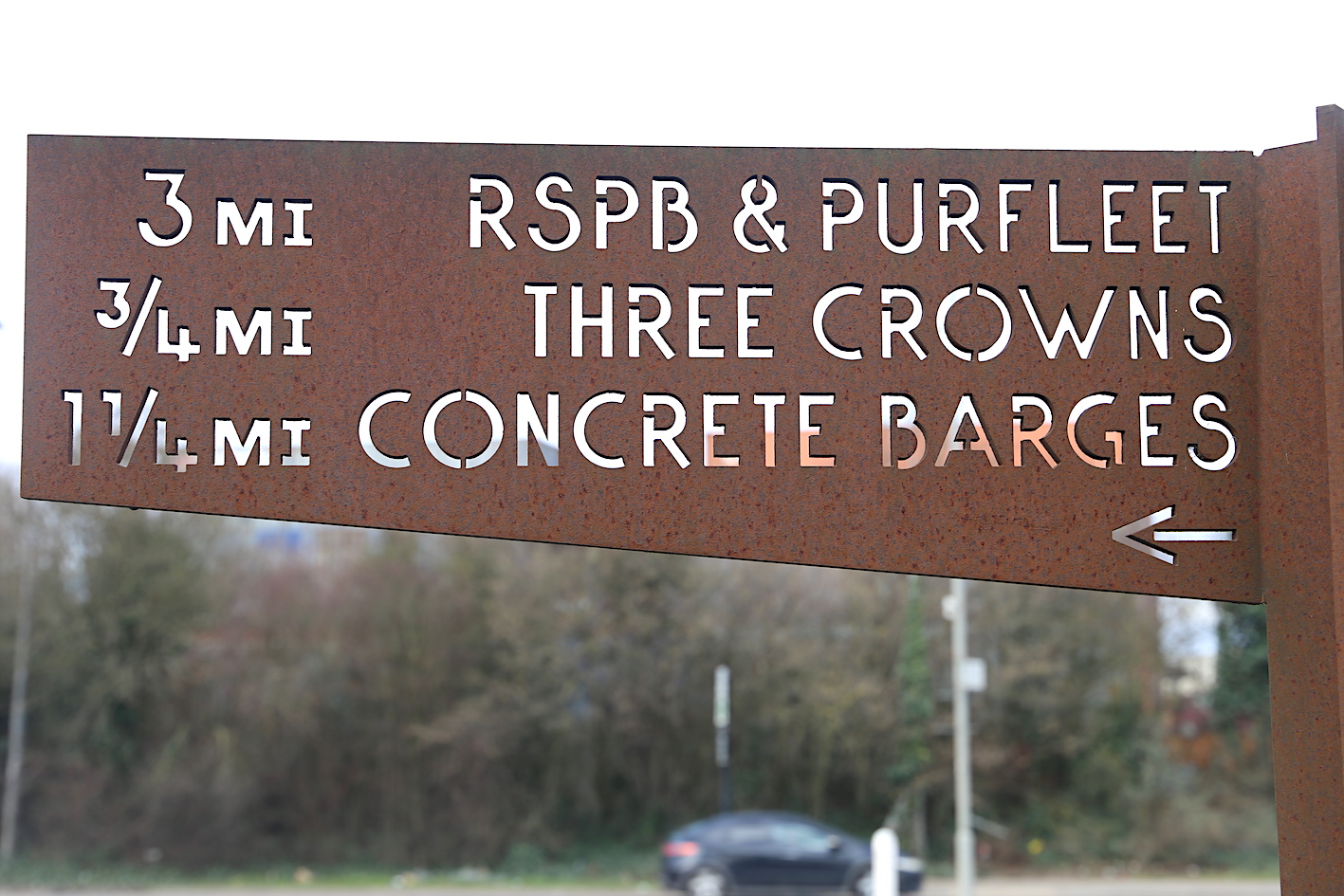
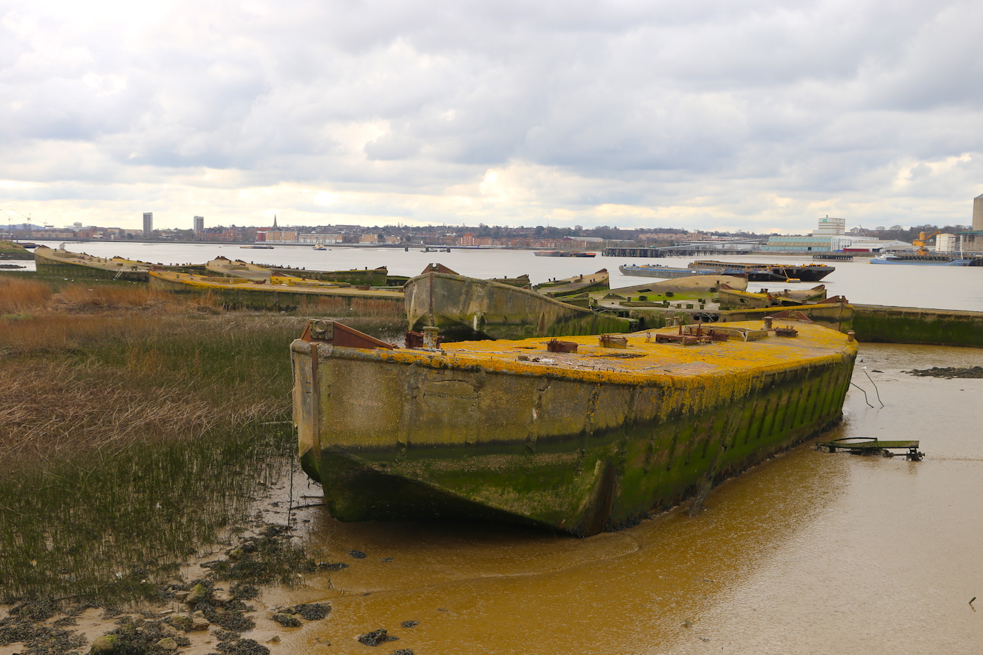
Part 1 by Rainham Brook to the concrete barges, along toward the Veolia Landfill site by the Thames foreshore to Rainham Marshes RSPB Centre, where the Mardyke enters the Thames and back along the Mardyke to Watts Wood to Davy Down Riverside Park.
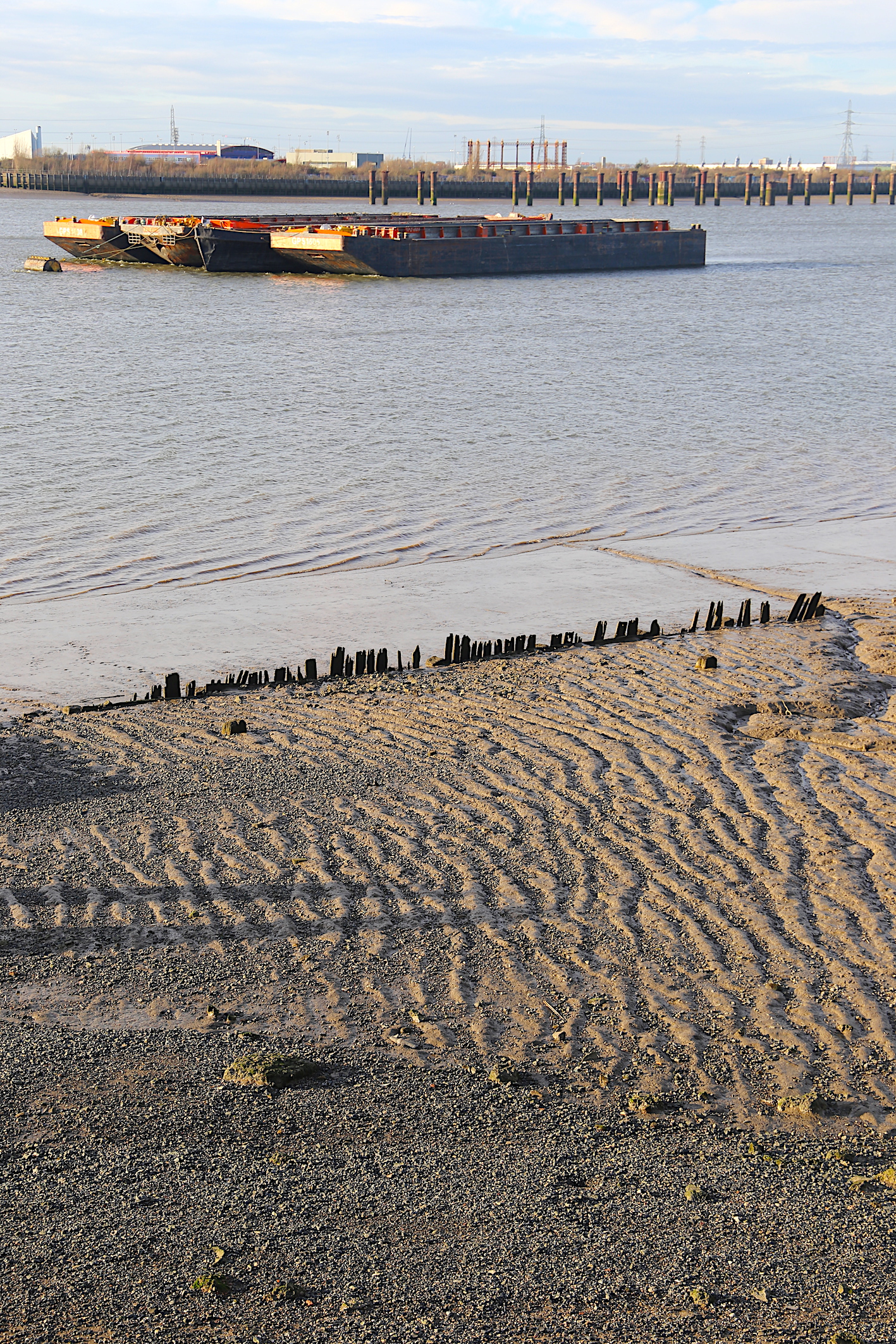
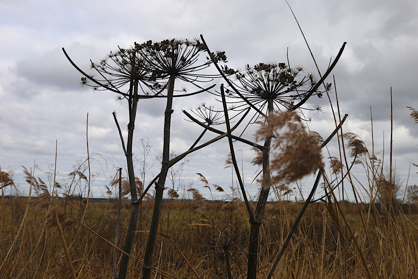
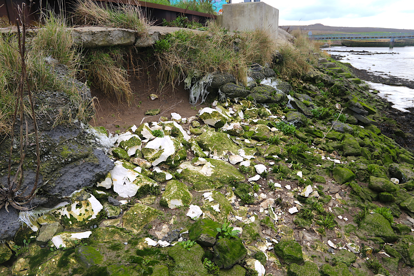
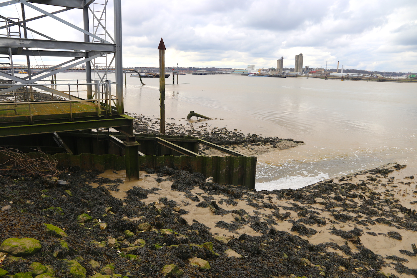
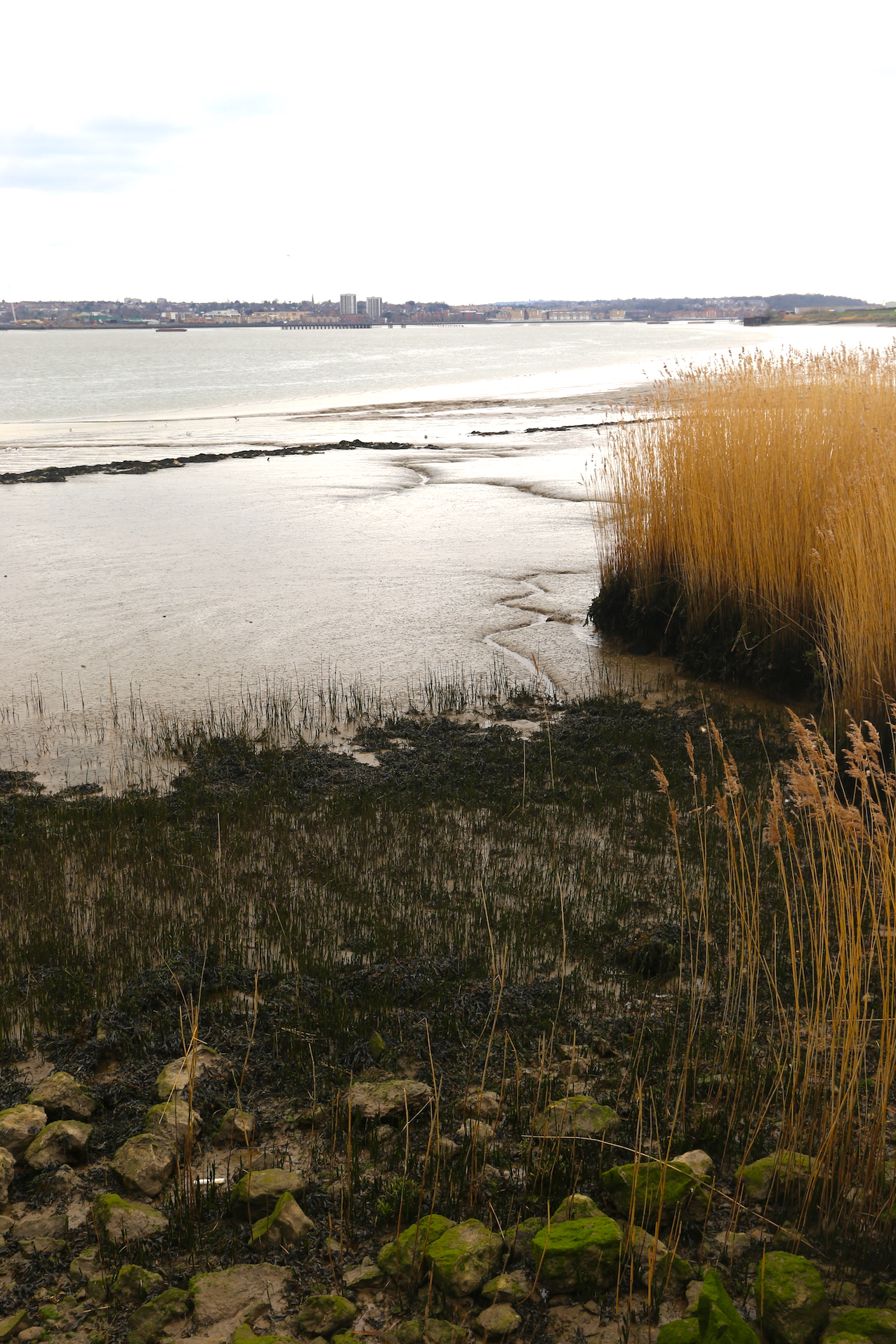
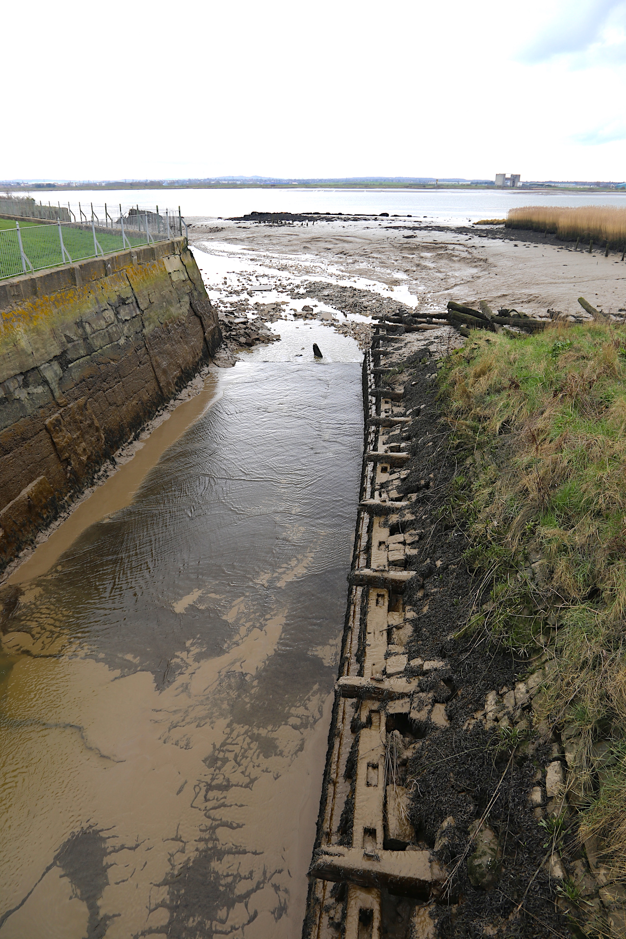
Waymarking on the London Loop from Rainham Station along the Rainham Brook to the ThamesCatching glimpses of the Rainham Brook as it flows through reed and rush down toward the ThamesWe arrive at the Thames, beyond the flood wall and the river edge – now unprotected – opens out onto a sea of mudflatsLadies lace, dried flowers from the summer months, reminders of the swift change of colour and ground cover yet to comeOn the foreshore near to the Rainham Brook outlet, a form of erosion cuts under the concrete, whereas it flows gently against the marshes.Here the outlet tunneling under the river wall froths its way across and out into the Thames, reaching for Erith…A different edge to the riverside as the tide slowly ebbs and flows against the reeds and seeps into the marshlands.Here at the Eastern end of RSPB marsh reserve – a former gun range – the Mardyke drains its way into the Thames before we cross into Purfleet Village
Part 2: Stanford-le-Hope, Mucking Creek to Wharf Road, the Wharf Nature Reserve, down to Thameside Nature Discovery Centre.
Part 3. Canvey Island – Pitsea, Pitsea Marsh, Wat Tyler centre, Timberman’s Creek, Vanga Creek, Fobbing Marsh, Upper Horse, Lower Hourse, Hole Haven, Thames side lagoona…
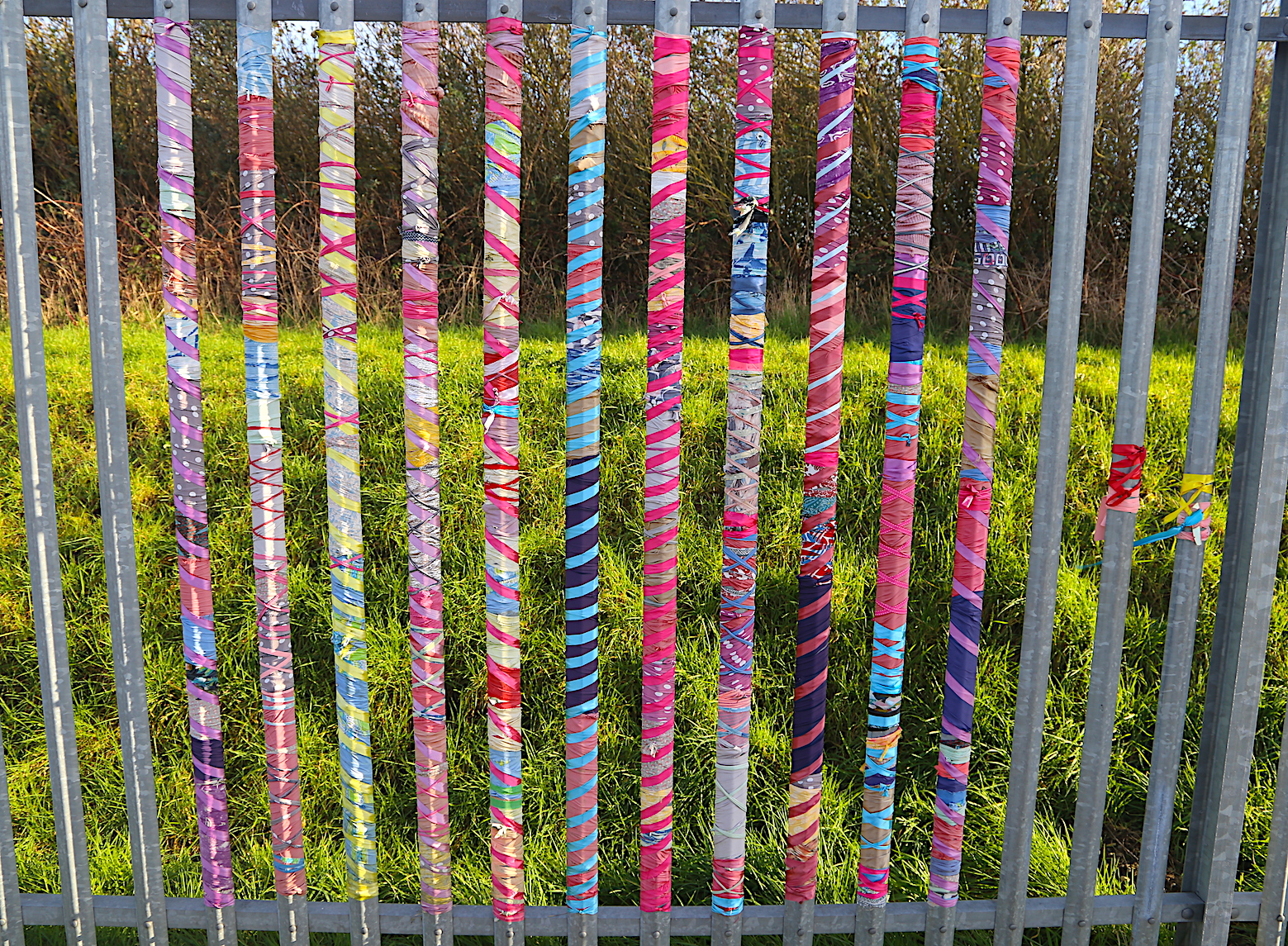
R&D Hydrodetours in partnership with Kinetika & Beach of Dreams